Selected case study
EA400 Hydrographic Data Processor & Bathymetric Modeler
High-Performance Hydrographic Data Processing, Temporal GPS Interpolation & Seafloor Bathymetry Modeling Platform
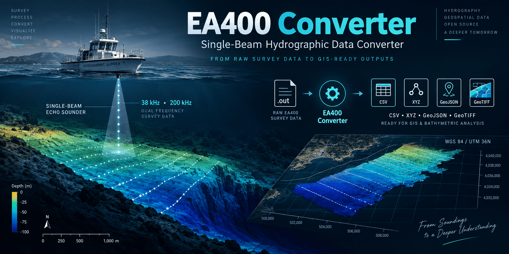
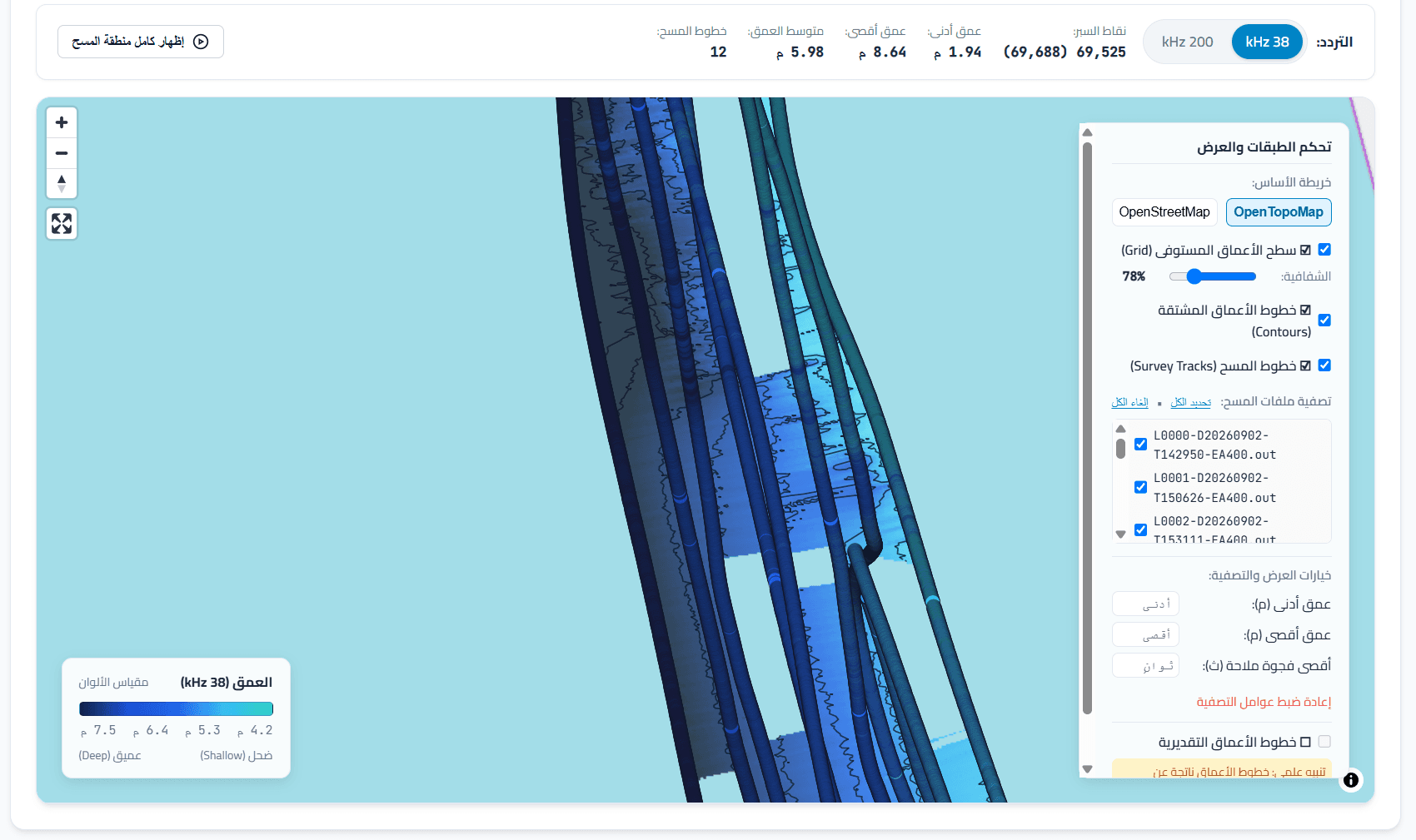
EA400 Converter is a specialized hydrographic data processing and bathymetric modeling platform designed for Kongsberg EA400 Single-Beam Echo Sounders. The application extracts raw dual-frequency soundings (38 kHz and 200 kHz) and NMEA navigation records from binary .out survey files, performs microsecond linear temporal interpolation, and projects coordinates to planar metric systems (UTM Zone 36N). It generates seafloor terrain surfaces using Constrained Delaunay TIN and IDW with gap-pruning safeguards, extracts derived depth contours, and exports production-grade deliverables (32-bit Float GeoTIFF, CAD NEZ matrices, XYZ point clouds, and GeoJSON tracks) alongside an interactive, air-gapped WebGL bathymetry inspector.
Project overview
EA400 Converter is a specialized hydrographic data processing and bathymetric modeling platform designed for Kongsberg EA400 Single-Beam Echo Sounders. The application extracts raw dual-frequency soundings (38 kHz and 200 kHz) and NMEA navigation records from binary .out survey files, performs microsecond linear temporal interpolation, and projects coordinates to planar metric systems (UTM Zone 36N). It generates seafloor terrain surfaces using Constrained Delaunay TIN and IDW with gap-pruning safeguards, extracts derived depth contours, and exports production-grade deliverables (32-bit Float GeoTIFF, CAD NEZ matrices, XYZ point clouds, and GeoJSON tracks) alongside an interactive, air-gapped WebGL bathymetry inspector.
My responsibilities
Lead Full-Stack & Systems Engineer responsible for low-level binary parser algorithms, microsecond temporal GPS synchronization, metric geodetic transformations (UTM), bathymetric surface interpolation engines (TIN/IDW), and local WebGL bathymetry visualization.